
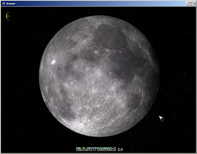
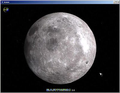
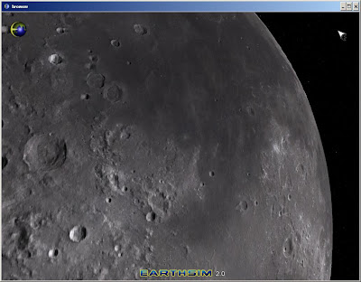
We believe this is the 'highest-resolution-highest-definition' real-time visualisation of the moon available to date.
Shadows have not been switched on in these images. I will make a new post of some close up images showing shadows casting from craters soon.
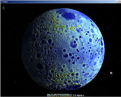
Topology view switched on
Here is a close up view of a crater
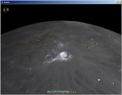
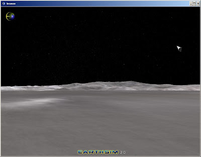
Down on the surface
The height data comes from the recent NASA The Lunar Reconnaissance Orbiter (LRO) currently (as of April 2010) orbiting the Moon on a low 50 km polar mapping orbit. The probe is making a high res 3-D map of the Moon's surface that we can use in Earthsim.
The color information comes from the Clementine mission. Clementine (officially called the Deep Space Program Science Experiment (DSPSE)) was a joint space project between the Ballistic Missile Defense Organization (BMDO) and NASA.
Launched on January 25, 1994, the objective of the mission was to test sensors and spacecraft components under extended exposure to the space environment and to make scientific observations of the Moon and the near-Earth asteroid 1620 Geographos.
This is such a great resource that you are providing and you give it away for free. I love seeing blog that understand the value. Im glad to have found this post as its such an interesting one! I am always on the lookout for quality posts and articles so i suppose im lucky to have found this! I hope you will be adding more in the future... Moon mission
ReplyDelete